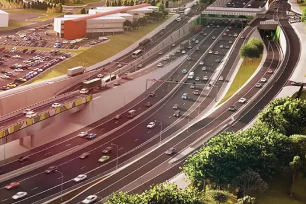

The existing corridor was four lanes in each direction and the project area was the convergence and divergence point for several key arterials. In addition, Darlington was a key destination as it included a university campus, regional hospital, and commercial precinct. Peak hour volumes are more than 7,000 vehicles per hour.
Significant optioneering determined which movements required access to the motorway and which ones would need to remain on the service road. The original signalised arrangement allowed vehicles on all intersection approaches to choose an appropriate lane before they entered the core section of the corridor. Right and left turners could move into the right and left respectively in preparation for their turn.
Connecting the roads together via free-flowing ramps meant that each 4-lane approach would need to be converted to free flowing 2-lane ramps. Requiring some vehicles to enter the motorway in an undesirable lane and required to make multiple lane changes before the diverge less than 1km down the corridor, sub-optimal for a motorway solution. To provide confidence in the analysis, Addinsight trip data was used to quantify the origins and destinations. A sub-area origin-destination trips report was used to capture the magnitude of movements between the various locations in the area. The data showed numerous movements that conflict including many relate to non-motorway movements that cross over the corridor rather than travel along it. A Furness operation (OD matrix manipulation Aimsun) was applied to scale up the trips to be equivalent to the actual traffic volumes to accurately quantify the weave movements.
Using the link selection function enabled planners to gather all the necessary data. The function allows you to filter data to probes that travel from green to red and then travelled to one of the yellow locations that differentiate between the left and right turns.
